You are here
Back to topMapping South Africa: A Historical Survey of South African Maps and Charts (Hardcover)
Email or call for price
Description
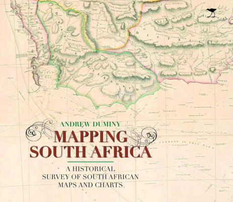
Filled with beautiful reproductions of some 85 maps, this is the first survey of the fascinating story of maps and mapmaking in the subcontinent. Beginning with the Portuguese voyages of exploration in the late 15th century, it explores the attempts of the Dutch and the British to chart and lay claim to the vast and expanding landscape of the Cape Colony. Subsequent chapters investigate the maps of the Eastern Cape, where a series of frontier wars led to an outpouring of cartography, as well as the maps of colonial Natal and the Boer Republics of the Transvaal and Free State, where cartography was driven, conversely, by the dictates of colonization and land exploitation. Drawing upon several scholarly articles, this history reveals an appreciation of the close relation between science, exploration, and cartography and gives due prominence to the role played by individuals as well as institutions in producing maps of increasing accuracy and detail.
About the Author
Andrew Duminy is a professor emeritus at the University of KwaZulu-Natal. He is the coauthor of Fitzpatrick: South African Politician Selected Papers, 1888–1906 and the author of François Renier Duminy: French Mariner and South African Pioneer, 1747–1811.