You are here
Back to topLondon A-Z Street Atlas (Paperback)
$11.95
Email or call for price
Email or call for price
Description
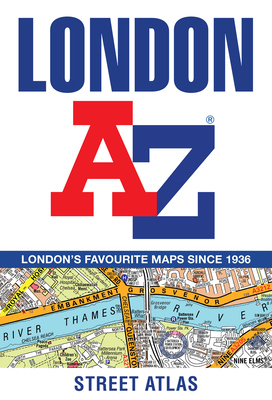
First published in 1936, this iconic atlas is a trusted means of finding your way around the capital city. The main mapping extends beyond from Heathrow Airport to Chingford at a scale of 2.88 inches to 1 mile. The street map of Central London is at a scale of 5.75 inches to 1 mile. An index lists streets, selected flats, walkways, and places of interest, place, area, and junction names. Additional healthcare and transport connections are indexed. Includes an Overview map of the Congestion Charging Zone, West End Theatre map, London Connections rail services map, London Underground map.
About the Author
Geographers’ A-Z Map Co Ltd is Britain’s leading street map publisher.